Gladstone Park Harrow Road collage

Areas covered by the Willesden Local History Society

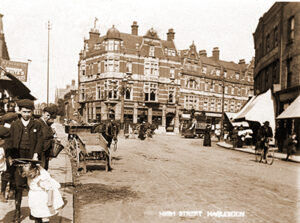
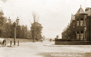
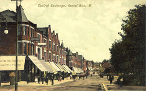
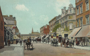
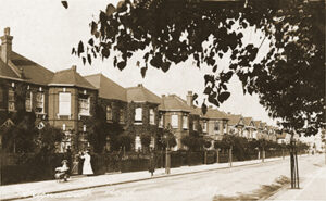
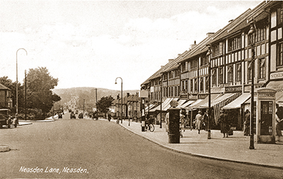
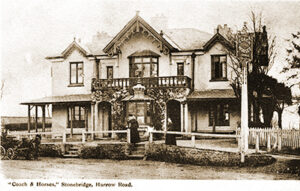
Traditionally, a parish in Middlesex, Willesden became a municiple borough in 1933. It covered a large area in North West London, including the localities listed below. In 1965 it joined Wembley to become part of Brent. WLHS covers the areas included in the traditional parish of Willesden.

Cricklewood lies north of Kilburn along Edgware Road, which serves as a divide between Brent (old parish of Willesden) and Hendon. 

Read more…

Church End lies between Harlesden and Willesden Green. The medieval hamlet of Church End grew up around the Parish Church of St. Mary, Willesden

Read more …

The area of Dollis Hill lies between Neasden, Cricklewood and Willesden.  The peak of the hill sits at the north, and Gladstone Park takes centre stage, sloping down to the park’s southern edge.

Read more …

Harlesden lies in the south of Willesden Borough, along the Harrow Road between Stonebridge and Kensal Green. 

Read more …

The “Village Green” of Kensal  Green was a strip of common land alongside the Harrow Road, running west from Kilburn Lane.

Read more …

Kensal Rise lies to the north of Kensal Green, going towards Willesden Green.

Read more …

Kilburn is an area in Brent, which grew around the intersection of the Roman Watling Street (Edgware Road) and a local river of the same name.

Read more …

Mapesbury is generally considered as the triangular area that once had the villages of Willesden Green, Cricklewood and Kilburn at each of its three corners.

Read more …

Stonebridge lies on the east side of the River Brent, between Harlesden and Wembley. A small settlement grew up, where the Harrow Road crosses the Brent.

Read more …

The Queen’s Park area of Brent lies between Chevening and Harvist Roads on the north and south, and Chamberlayne and Salusbury Roads on the  east and west.

Read more …